We use cookies on this site to enhance your experience.
By selecting “Accept” and continuing to use this website, you consent to the use of cookies.
Nov. 11, 2025
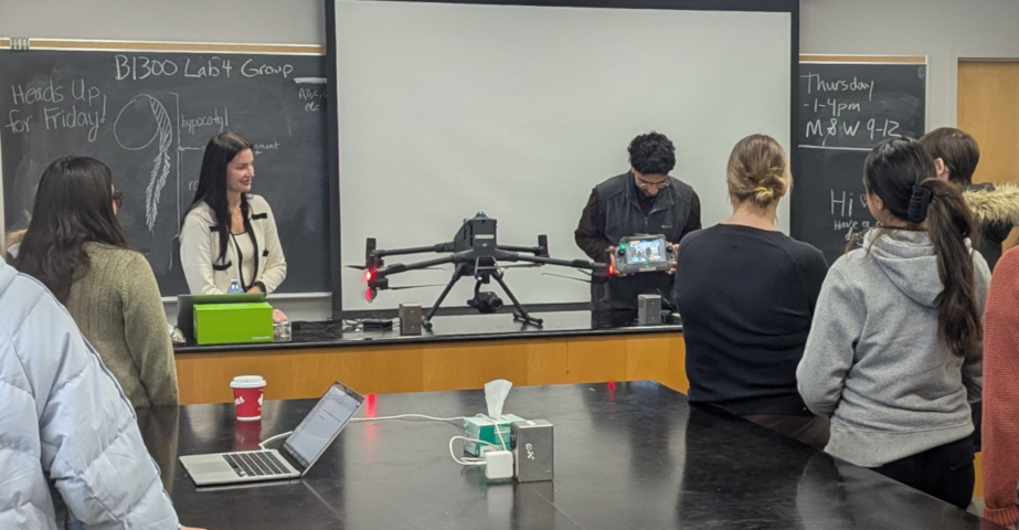
Measur, a provider of drone solutions, visited Wilfrid Laurier University today to give a presentation to the BI 363: Plant Ecology class, along with interested faculty and staff, on the applications of drones to research, agriculture, and industrial settings. The session began with an overview of licensing requirements, safety considerations, and career pathways, before moving into the technologies and applications of LiDAR and photogrammetry.
Real world case studies, such as biomass monitoring and 3D ecosystem mapping, reinforced the flexibility and applicability of these technologies. Other platforms and sensors were also showcased, such as unmanned surface vehicles (USVs) equipped with echosounders for underwater terrain mapping and monitoring, as well as drone mounted ground penetrating radar and gas detection systems.
The presentation concluded with highlights of the DJI M400 UAV and Apache 4 USV models brought on site, including demonstrations of route planning and control systems, followed by a question-and-answer session.
Contact Us:
Laurier Institute for Water Science
E:
liws@wlu.ca
Kevin Stevens, Co-Director
Jonathan Wilson, Co-Director